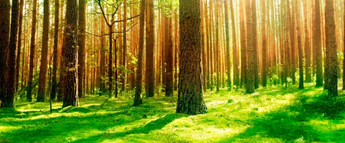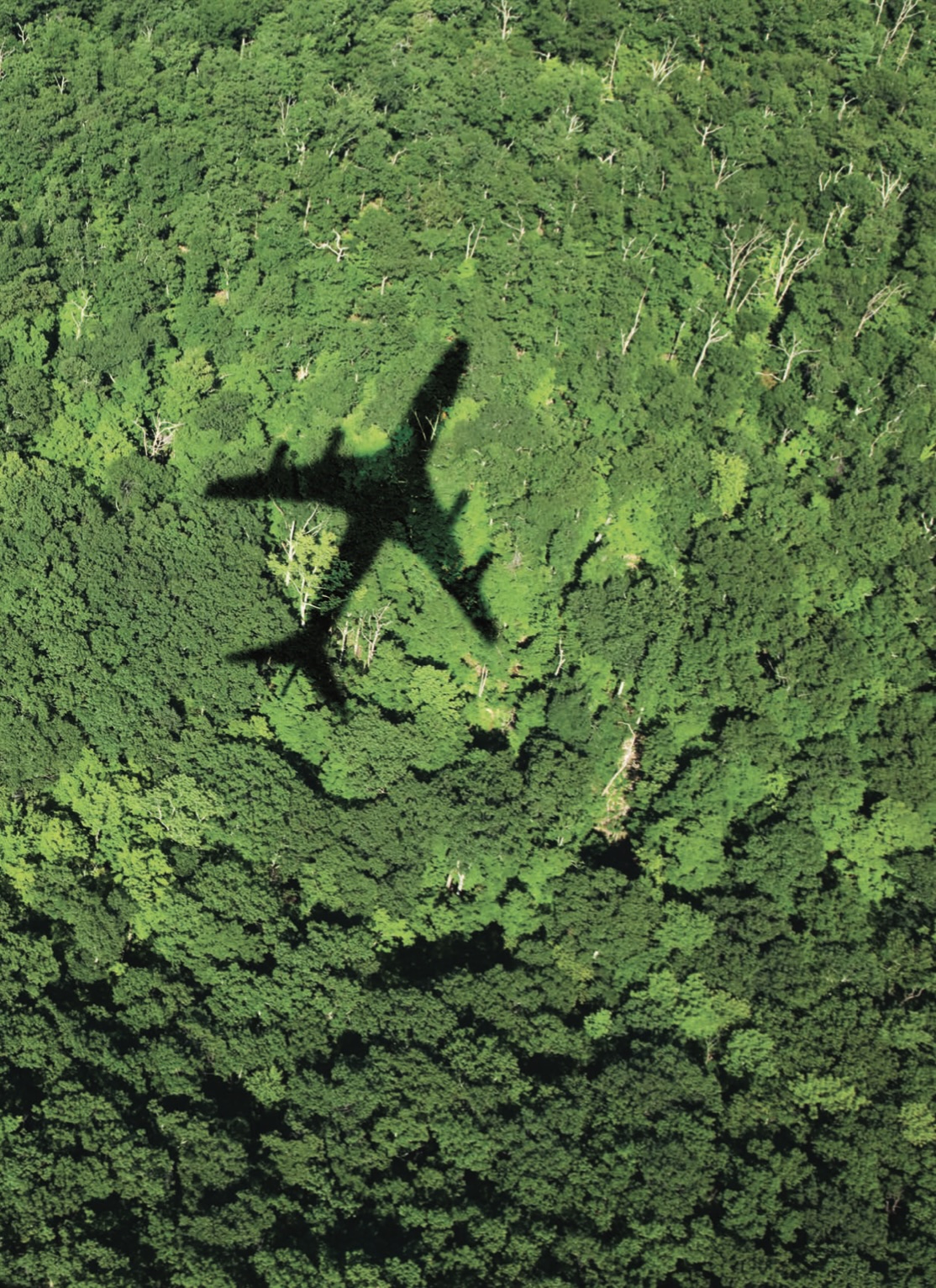
All countries across the globe are using Satellite imagery to estimate FOREST COVER. To do the FOREST INVENTORY management, satellite imagery won’t help !! Today it is completely MANUAL & GUESS work.

Problem One
Satellite imagery wont provide high resolution images

Problem Two
There is no Species data to Identify & calculate Inventories

Problem Three
Manual Inventory is COSTLY & SLOW (only 5% of forest monitored)

Fuel Cell VTOL
Increased endurance to monitor the forest under canopy

Computer Vision
High Resolution images with Deep Learning (YOLO)

Species Inventory
Deep AI data pipelines to Identify & calculate Inventory

10X fast @ low cost
15 min/ hectare vs. 2 days manual at fraction of cost

Bio-Diversity
We need to measure to improve it… so, we have to learn the current Forest Inventory
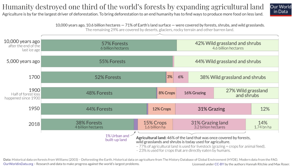
33%
of land covered with forests
Govt.
Working with Governments directly
100+
Species covered

